GTA 6 Map Guide: Vice City, Ambrosia, and Leonida’s Key Locations
- Last Updated: 22nd November, 2026
- 6 Min Read
- 3 Views


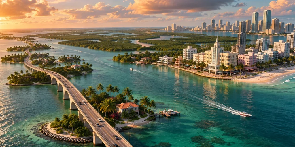
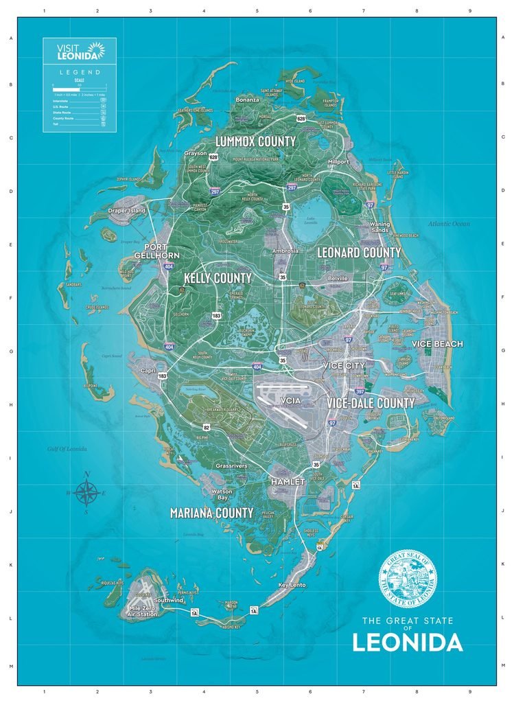
The GTA 6 map is easier to read once you know three landmarks: the bay between Vice City and Vice Beach, Lake Leonida in the interior, and the island chain along the southern edge of the state. Between them, you can place most of the destinations in this guide. Vice City International Airport is near the east-coast metro area, Ambrosia is just south of the lake, and Mile Zero Air Station marks the southwestern end of the Keys.
Rockstar’s promotional material introduces six destinations, including Grassrivers and Mount Kalaga National Park. The printable map takes you a level deeper. It gives you names such as Gellhorn Raceway, Capri, and Key Lento, which are easier to find when you know the towns, roads, or waterways around them. This guide uses those relationships to help you find each place. It also includes smaller stops such as Hamlet, Watson Bay, and Southwind, which help connect the better-known areas.
Keep the map open as you read. If you want a quick look at the city, start with Vice Beach and the mainland across the bay. If you’re more interested in how Leonida changes away from the coast, start with the lake. The guide focuses on geography, so you can use it without spoiling the story.
| Part of Leonida | Locations covered | Where to look first |
| East coast | Vice City, Vice Beach, VCIA | Find the bay, then look inland for the airport |
| Central interior | Lake Leonida, Ambrosia | Find the lake and scan its southern side |
| West coast | Port Gellhorn, Gellhorn Raceway, Capri | Follow the coast south from Port Gellhorn |
| Northern Leonida | Mount Kalaga National Park | Look in Lummox County |
| Southern mainland | Grassrivers, Hamlet, Watson Bay | Scan the wetlands and the approaches to the Keys |
| Southern islands | Leonida Keys, Key Lento, Southwind, Mile Zero Air Station | Follow the island chain southwest |
The map grid provides a shortcut for several places. Vice City is in G7, Vice Beach in G8, Port Gellhorn in E3, Ambrosia in E6, Capri in G3, and Key Lento in K6
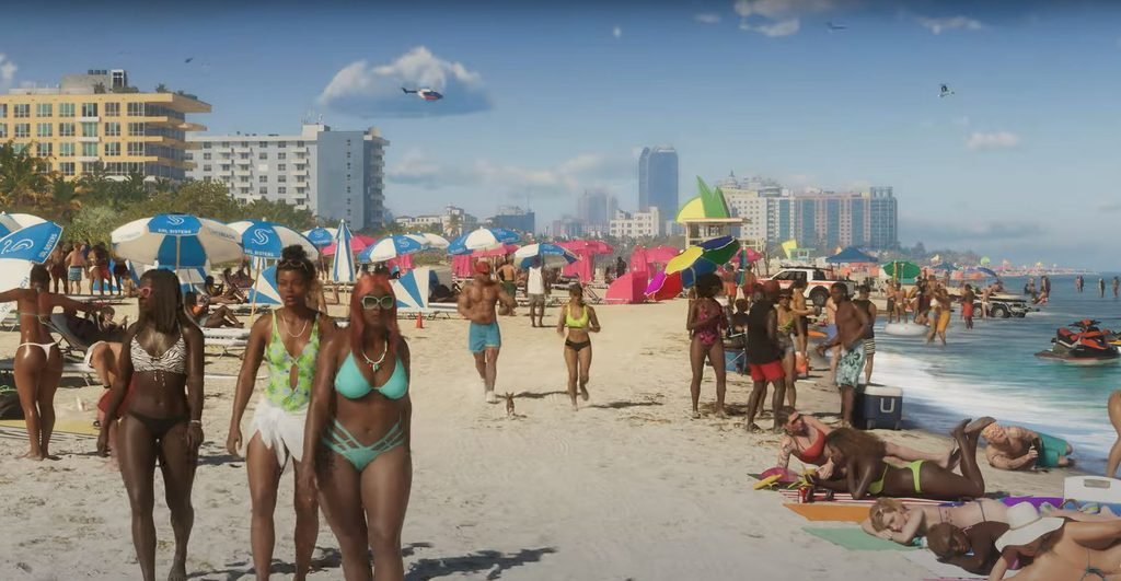
Vice City is the main urban reference point on Leonida’s east coast. Vice Beach has its own label across the bay. That distinction helps when reading guides that use “Vice City” for the wider metro area. If you’re looking for Ocean Beach and its Art Deco waterfront, start on the beach side. If you’re looking for Little Cuba or the working waterfront around VC Port, start with the wider city.
VCIA stands for Vice City International Airport. The printed map places it between Breakwater Quarry to the west and Salton to the northeast, with Bluegrass to the south. Rockstar’s second trailer also shows a road sign for VCI Airport and Ambrosia along U.S. 35 North. If you’ve seen both abbreviations, they refer to the same airport. Use VCIA when searching the printed map.
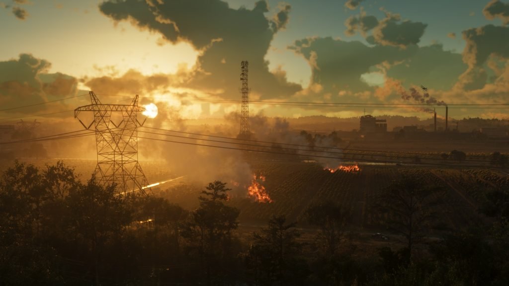
Lake Leonida is the most useful reference point for finding your way through the interior. Look immediately south of the lake for Ambrosia. The town is one of Rockstar’s featured destinations, and the Allied Crystal sugar refinery helps explain its industrial character. Rockstar identifies the refinery as an important local employer. It’s the detail that makes Ambrosia easier to picture if most of the GTA 6 scenery you’ve seen so far has been beaches and city streets.
To find Ambrosia quickly, look for the lake before searching for the town name. When planning a drive from there, check which side of the lake your next destination is on. The body of water is obvious at a glance, while the connecting roads are easier to follow when you zoom in.
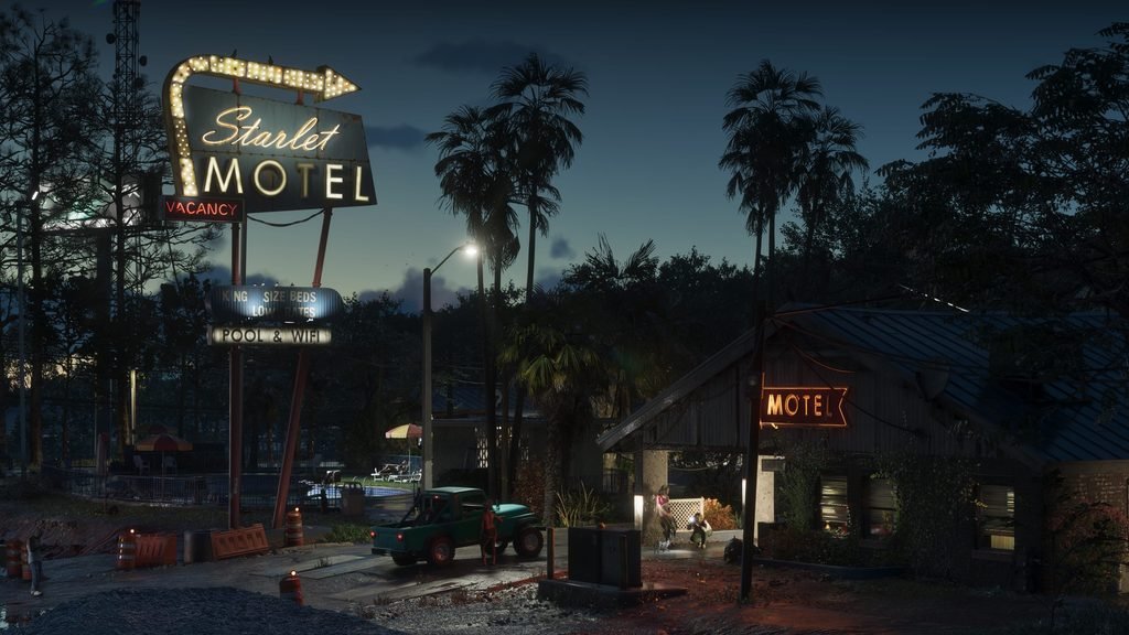
Port Gellhorn sits on the west coast in Kelly County. Its older roadside buildings and motel scenery give it a very different look from the east-coast beach strip. One name to watch for is VC Port, which refers to the Vice City waterfront. If a guide sends you to Port Gellhorn, start on the west coast.
Gellhorn Raceway is marked south of Port Gellhorn, west of Gellhorn and beside Interstate 404. The map confirms the name and location. If you’re looking for a specific race or event, check the markers in your game. The printed label alone gives you the landmark’s position.
Capri is farther down the west coast, beside Capri Sound and Tortoise Lake. The nearby U.S. 183 shield is a helpful clue when the map is zoomed in. For a quick north-to-south reading of this side of Leonida, look for Port Gellhorn → Gellhorn Raceway → Capri.
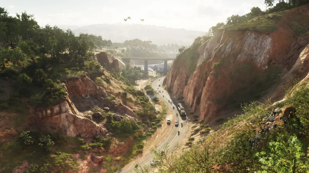
Look in Lummox County in northern Leonida for Mount Kalaga National Park. Its wooded terrain and winding roads make it an easy region to recognise in screenshots. On the map, use the park label to get your bearings, then zoom in to see where the road actually goes. A waypoint that looks close on the statewide view may sit on the far side of the terrain.
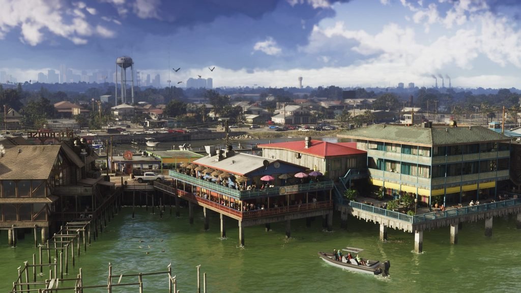
from a location list focused on cities and landmarks. The useful references here are water and road crossings. If you’re comparing it with the Keys, look at the shape of the land. Grassrivers spreads across the mainland, while the Keys form a chain beyond it.
Hamlet appears in I6, east of the Grassrivers label in I5, and makes a useful reference point near the start of the southern island chain. Watson Bay, in J4, gives you another named point farther west when scanning the southern part of the map. Both are worth adding to your reference list if you want to orient yourself between the wetlands and the islands.
The Leonida Keys are the southern island chain. Rockstar groups them under that name in its official gallery, while the printable map labels individual islands and destinations. Follow the land and bridges southwest from the mainland to see how the chain fits together.
You can read the GTA 6 map as a handful of connected trips. On the east coast, use the bay to place Vice City and Vice Beach, then look inland for VCIA. Around the centre of the map, use Lake Leonida to find Ambrosia. On the west coast, start at Port Gellhorn and work south towards Gellhorn Raceway and Capri. Each of those routes gives you a few landmarks you can remember the next time a place name comes up in the game.
For a bigger change of scenery, compare Mount Kalaga National Park in the north with Grassrivers in the south. Then follow the Keys from the mainland towards Key Lento, Southwind, and Mile Zero Air Station. That stretch is a good example of why it pays to look at the roads as well as the labels. The island chain curves, and the route you follow can look quite different from the distance you’d estimate at a glance.
Keep Rockstar’s printable map for the statewide view and use the in-game map for your next waypoint. Pick one corner of Leonida for your first detour. A short trip with two or three recognisable stops is enough to learn how that part of the state fits together.
[ 1 votes, Avg: 5 ]